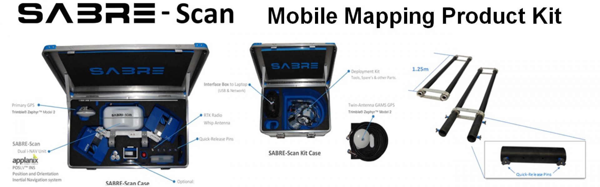
Welcome To SABRE Advanced 3D

SABRE ADVANCED 3D, design, develop and manufacture standalone and fully integrated mobile 3D Geospatial data acquisition product solutions using LiDAR (Light Detection And Ranging) and camera solutions for mobile mapping.

We offer standard and custom equipment solutions for deployment on mobile, ground, marine, airborne platforms or any appropriate mobile platform.

Our typical clients are surveying and inspection industry service companies, covering utility mapping, roads and highways, Geospatial, GIS/Geomatics, mining, Oil & Gas, among many others.

  •  
  •  
  •  
SABRE-SCAN

SABRE-SCAN

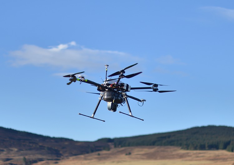
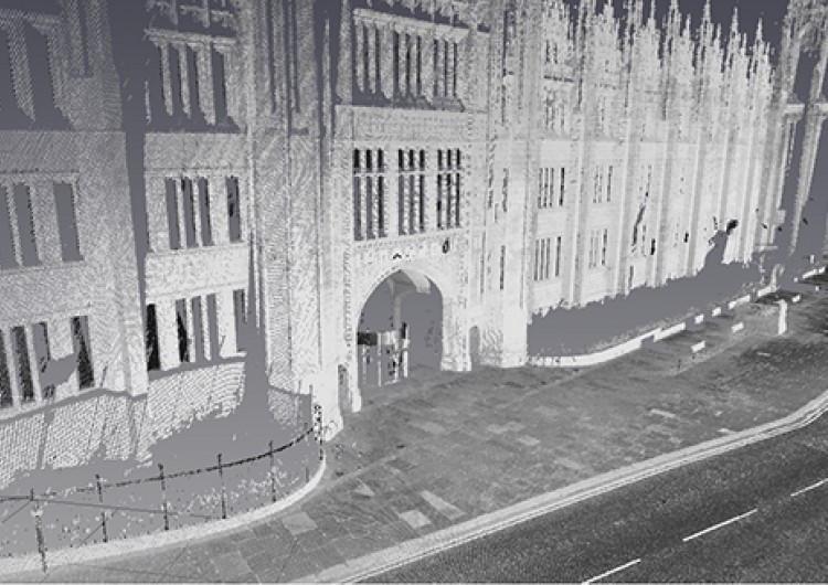
SABRE Advanced 3D has developed a 'dual use' mobile mapping system which combines the attributes of the FARO Focus and the GNSS/IMU systems package of its (Sabre) UAV system. This 'highly portable system, enables existing users of the FARO Focus to conduct mobile mapping survey operations with their Focus units with the minimum of financial investment and learning curve.

More Information
UAV LiDAR Payloads

UAV LiDAR Payloads

Fully integrated SABRE positioning and laser scanning technology for unmanned airborne laser scanning. The Sky3D simply bolts on to the bottom of most Heavy lift (>3kg) capable Multicopter or Helicopter aircraft. The FARO Focus model operates a phased based laser scanner which is capable of up to 1million point per second, 120m range with a laser accuracy of 2mm and a repeatable high precision positioning accuracy which GPS and GLONASS can attain.

More Information
Training

Training

SABRE ADVANCED 3D's entire range of products inventory is available for sale and available globally.

We offer training for all of our equipment.

More Information

Our Products

Sabre 3D has a range of products....

  • SABRE-SCAN

    Mobile laser mapping systems for ground vehicles, boats and unmanned ground robots.

    Find out more..
  • UAV LiDAR Payloads

    Drone LiDAR, Camera systems and sensors.

    Find out more..
  • Training

    Rental systems for surveying and documentation.

    Find out more..
  • UAV / Drone Platforms

    Robotic air, land and sea platforms for survey and inspection.

    Find out more..

Want to know more?

To learn more about our products please contact us or see our products page.